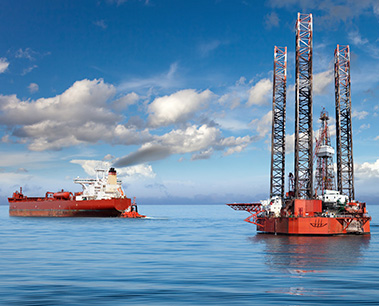
We provide UAV based aerial survey for inspection in the difficult to reach area such as Flare stack, Offshore Vessel, Offshore Platform. We are able to produce precise photography/videography for tracking progress of your project, Milestone dates documentation.
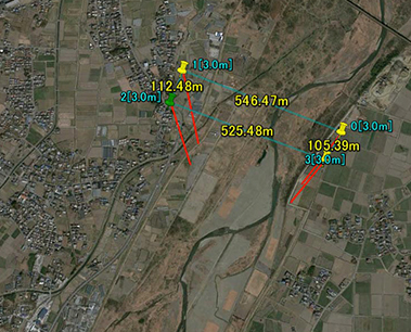
We also provide Mapping Survey for Marine, Mining, Forestry, and Agriculture etc. Drones can provide very real benefits, providing visulaised and accurate data, quickly and cost-effectively providing contour maps, orthophotos, 3-D models and volumetric estimations.
Oil & Gas
Structural inspection for
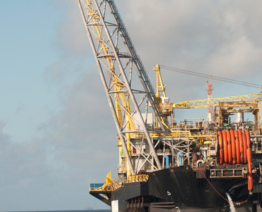
Marine Industry
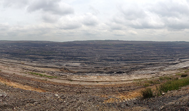
Tracking progress and documentation for
Mining, Energy Industry
and Agriculture

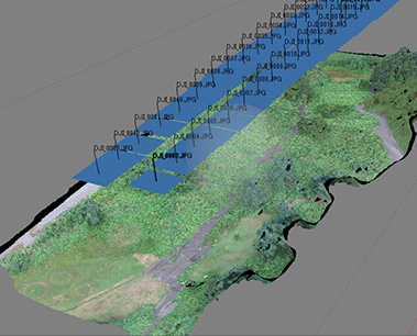
DATA PROCESSING
We are specialising in UAV data processing and delivers high quality output.
Post processing is performed to handle the massive size of the datasets acquired.
We deliver
- High resolution Video/Photo.
- Digital Elevation Model (DEM)
- Digital Terrain Model (DTM)
- 3D Model
- Volumetric Analysis
- Customized data output on request